
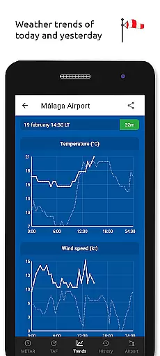
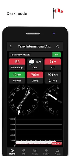
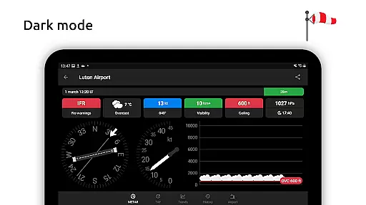
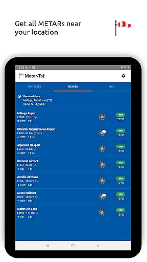
Metar-Taf is a comprehensive weather application designed specifically for aviation enthusiasts and professionals. The app provides visualized METAR and TAF weather information for airports worldwide, offering users an easy-to-understand, colorful interface with concise summaries of essential aviation weather data.
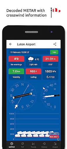
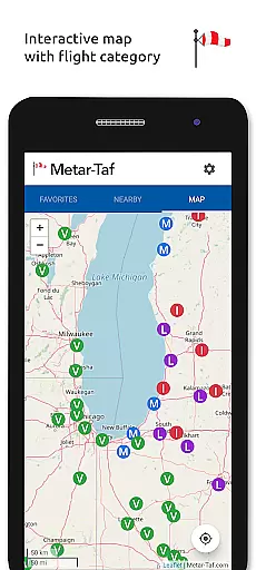
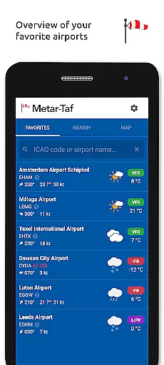
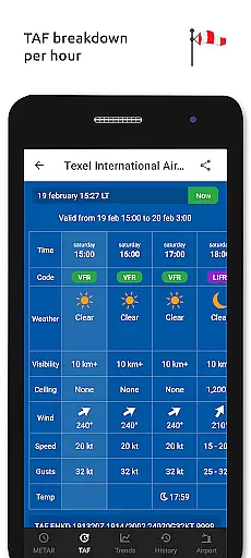
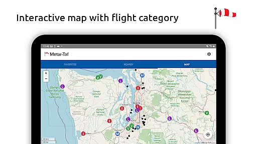
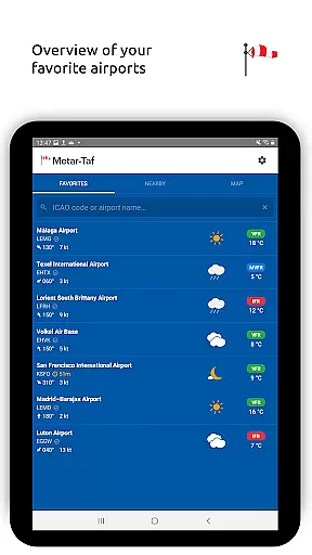
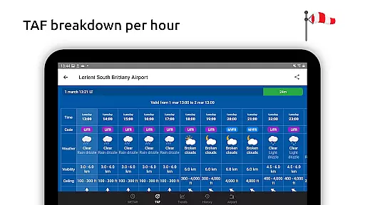
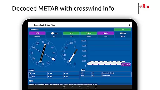
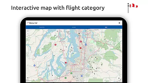
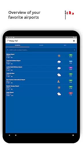
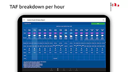
Key features include visualized metrics for METAR reports, crosswind calculations, flight rule categorization, and text-to-speech functionality for decoded METARs. Additionally, the TAF section breaks down forecasts hourly, displaying sunrise/sunset times and temperature extremes. Users can track favorite stations, access location-based observations, and explore interactive maps with weather codes.
This app is invaluable for pilots, dispatchers, and aviation meteorologists who need quick access to accurate, real-time weather information to make informed decisions about flight operations.
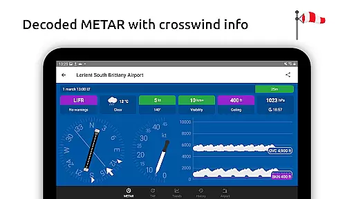
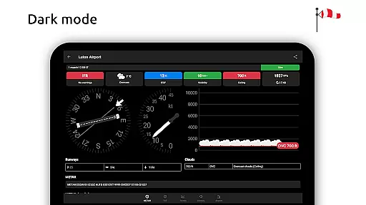
Metar-Taf stands out with its extensive feature set tailored for aviation weather analysis. The app's METAR visualization transforms complex weather data into easily digestible graphics using colorful metrics and standard weather symbols. Its unique crosswind calculation combines runway information with METAR data, providing crucial safety information for pilots.
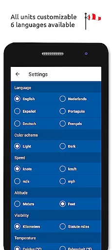
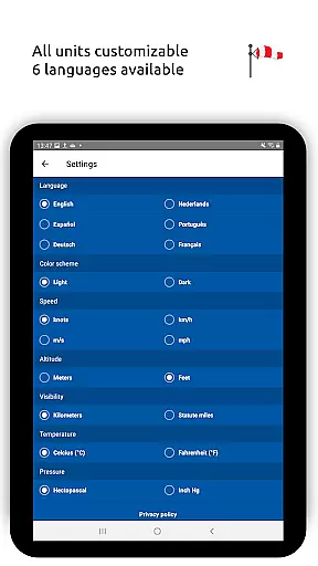
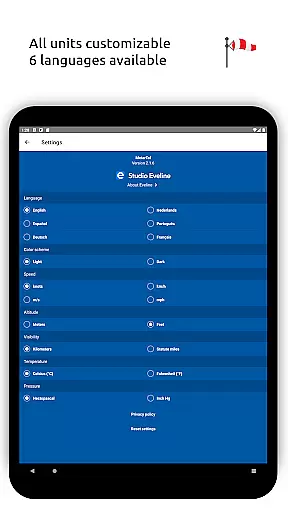
The application offers customizable units for all essential measurements including speed, altitude, visibility, temperature, and air pressure. It automatically converts times to local airport time and calculates sunrise/sunset based on geographical coordinates. The offline functionality ensures users maintain access to critical METAR, TAF, and airport data even without internet connectivity.
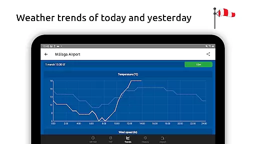
Additional notable features include multilingual support across six languages, historical weather trend graphs, and comprehensive airport information including runway directions and elevation data. These features collectively create a powerful tool for both professional and recreational aviators.
Accurate weather forecasting is crucial for aviation safety and planning. Metar-Taf provides reliable METAR and TAF data for airports worldwide, ensuring pilots have the most up-to-date information on significant weather patterns, visibility, and flight rule categories.
The app visualizes this data through easy-to-understand colorful metrics and symbols, similar to non-aviation weather reports. This simplifies the interpretation of complex weather data, allowing users to make informed decisions quickly.
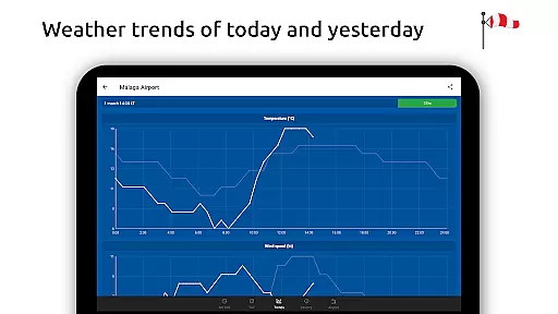
Additionally, Metar-Taf offers crosswind calculations by combining METAR data with runway information, enhancing pre-flight preparations. Users can also access historical graphs showing weather trends, aiding in understanding potential future conditions based on past data.
Metar-Taf excels in providing extensive temporal and spatial forecast ranges, essential for comprehensive trip planning. The app breaks down TAF forecasts hourly in an easy-to-read table format, displaying critical information such as sunrise/sunset times and temperature extremes.
Users benefit from localized time conversions for each airport's METAR and TAF data, ensuring accurate daily planning regardless of timezone differences. Furthermore, the app calculates sunrise and sunset based on airport coordinates, offering precise light condition predictions.
With offline capabilities, users can access saved METAR, TAF, and airport data without internet connectivity. This feature is particularly valuable for pilots operating in remote areas or when flying through regions with limited network coverage.
User-friendly interface
Comprehensive weather data
Offline functionality
Customizable units
Multilingual support
Premium features locked
Occasional data delays
Limited free usage
Heavy on storage
Complex for beginners
Live weather forecast for your everyday life
 4.60
4.60
Instant weather updates, easy to check anytime on your home screen.
3.50
Get accurate rainfall and snowfall totals for pinpoint locations on a map.
4.60
Your local weather app with storm radar, rain tracker, weather maps & AQI.
4.2
Global weather forecast, powered by layered radar & hourly weather updates
4.10
View weather widget and map. Wind direction and speed. Tides times and waves
4.70
Stay ahead of the weather with Daily Weather
4.10
Your Reliable Weather Companion
4.10
Your ultimate app for real-time weather information!
4.70
My Tide Times Pro is the only tide tables and forecasts application you'll need.
4.80
NOAA forecast & radar for your exact location.
4.80
weather forecast, weather radar, weather widget in one local weather app
4.70
My Aurora Forecast Pro is the app for the Northern Lights and Aurora Borealis.
4.70
Powerful US and worldwide earthquake feed with earthquake alerts and maps.
4.70
72-hour weather & daily forecasts with extreme weather alerts
4.60
Track rainfall totals with ease using our rain gauge app. Accurate rain tracker.
4.50
Weather watch face for Wear OS 5+
4.40
Weather forecast & live radar map
4.20
Get instant weather & temperature predictions right on your Wear OS smartwatch!
4.4


User Reviews