


Zoom Earth is a premier interactive weather map application that provides real-time tracking of hurricanes, storms, and severe weather conditions. The app leverages near real-time satellite imagery updated every 10-40 minutes from geostationary satellites like NOAA GOES and JMA Himawari, ensuring users have access to the latest meteorological data.
In addition to its robust satellite capabilities, Zoom Earth offers an array of interactive weather maps covering rain, wind, temperature, and atmospheric pressure. Users can explore detailed forecasts for their location, monitor wildfires and smoke movement, and customize various settings such as temperature units and animation styles. This makes it an invaluable tool for both casual weather watchers and professionals in need of precise climate information.
One of the standout features of Zoom Earth is its comprehensive weather forecast maps powered by models like DWD ICON and NOAA/NCEP/NWS GFS. These maps provide stunning visualizations of precipitation, wind speed, temperature, and more, all updated continuously with the latest data.
The app also includes advanced hurricane and wildfire tracking systems. Hurricane tracking uses the latest data from authoritative sources like NHC and JTWC, offering clear and easy-to-understand information on storm development. Wildfire tracking utilizes NASA FIRMS data to detect high-temperature points, which can be viewed alongside GeoColor satellite imagery to monitor fire weather in near real-time.
Customization options abound in Zoom Earth, allowing users to adjust various settings to suit their preferences. From altering temperature and wind units to changing time zones and animation styles, the app ensures a personalized experience tailored to individual needs.
Forecast accuracy and data credibility are crucial for any weather application, and Zoom Earth excels in these areas. The app provides continually updated weather forecast maps using the latest model data from reputable sources like DWD ICON and NOAA/NCEP/NWS GFS.
Users can explore various interactive visualizations such as precipitation forecasts, wind speed and gusts, temperature predictions, and more. These maps offer a comprehensive view of upcoming weather patterns, ensuring users have reliable information at their fingertips.
The satellite imagery on Zoom Earth is updated every 10 minutes with a minimal delay, providing near real-time data. This high-frequency update ensures that users receive the most current and accurate weather information available, which is essential for making informed decisions regarding travel, outdoor activities, or emergency preparedness.
Zoom Earth offers an extensive temporal and spatial forecast range, allowing users to plan effectively for both short-term and long-term weather conditions. The app's global forecast maps cover a wide array of meteorological data points, including rain, snow, cloud cover, wind patterns, and temperature variations.
With features like hurricane tracking and wildfire monitoring, users can stay aware of severe weather developments across different geographical locations. The hurricane tracking system updates in real-time using the latest data from authoritative bodies such as NHC, JTWC, NRL, and IBTrACS.
In addition to immediate forecasts, Zoom Earth also provides detailed atmospheric pressure predictions and relative humidity levels. Such comprehensive coverage helps users understand broader climatic trends and anticipate changes in local weather conditions over time.
User-friendly interface
Real-time updates
Comprehensive weather data
Advanced tracking systems
Highly customizable
Premium features require subscription
Occasional data delays
Limited offline functionality
Resource-intensive
Complex for beginners

Accurate weather forecast and beautiful weather & clock widgets
 4.20
4.20
Room Temperature Thermometer meter shows indoor, outdoor temperature, humidity.
4.40
Live weather radar, widgets & forecasts. Track rain, storms & temperature.
4.20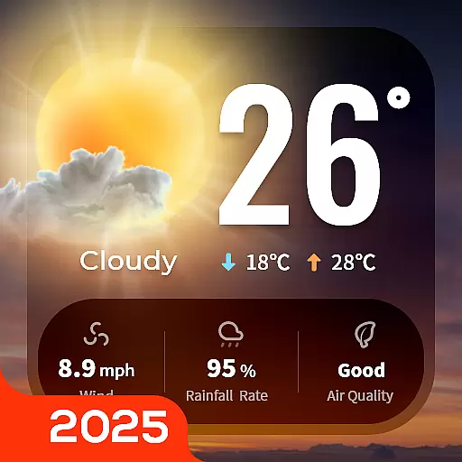
Your Trusted Weather Companion
4.40
Powerful US and worldwide earthquake feed with earthquake alerts and maps.
4.60
weather forecast, weather radar, weather widget in one local weather app
4.70
14-day & 24-hour Forecast | Real-time Alert | Accurate & Fast
4.40
Your Reliable Weather Companion
4.10
The weather channel, tiempo weather forecast, weather radar & weather map
4.70
Weather radar, hyperlocal tracker and weather maps: follow your weather station
4.80
Live Alabama weather from James Spann—forecasts, radar, alerts, Spanncams.
4.70
Road weather, live radar, wind, snow, and conditions along your driving route.
4.70
Live weather forecast for your everyday life
4.60
Industry leading whitetail movement predictor & hunting app.
4.60
NOAA radar, weather forecasts, hurricane tracking & customizable alerts.
4.50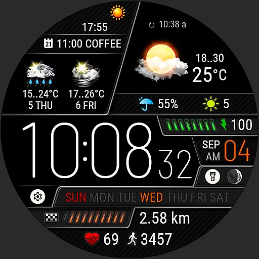
Weather watch face for Wear OS 5+
4.40
Precision Weather, Right at Your Fingertips
4.40
Download now and give your smartwatch a fresh, premium look!
4.20
3D Animation Weather Icon
4.00


User Reviews