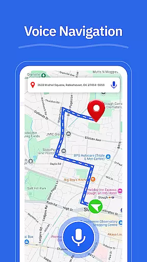

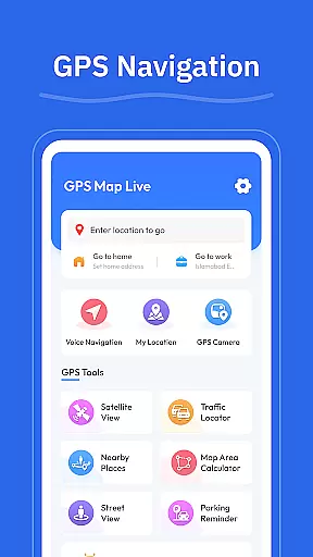

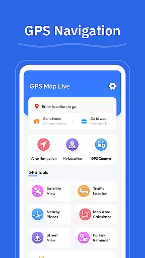
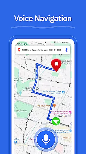

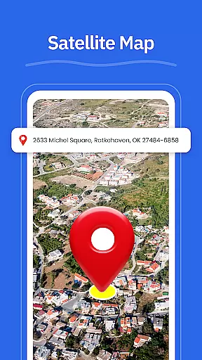
GPS - Maps, Driving Directions is a comprehensive navigation app designed to simplify travel across the United States. The app offers turn-by-turn voice guidance for hands-free driving, clear directions for highways and city roads, and real-time GPS tracking to ensure users always know their current location. Whether commuting daily or embarking on a cross-country road trip, this app provides reliable tools for easy and efficient navigation.
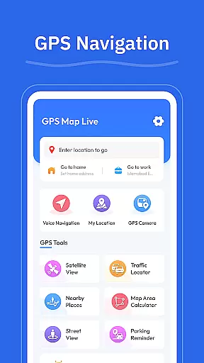
In addition to basic navigation, the app includes practical features such as route optimization based on current road conditions, street view functionality for exploring neighborhoods and landmarks, and a GPS camera for saving geo-tagged photos. These features make it easier than ever to explore new areas, find nearby amenities like gas stations and restaurants, and plan efficient travel routes. With its clean interface and robust functionality, GPS - Maps, Driving Directions is an essential tool for both everyday and long-distance travel.
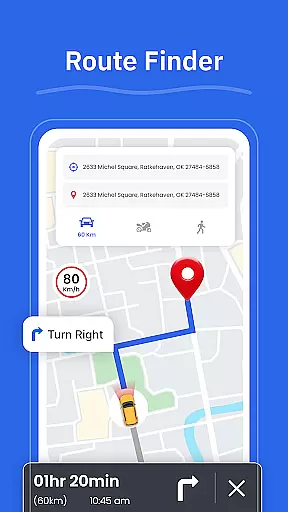
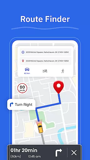
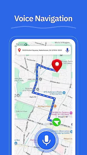
One of the standout features of GPS - Maps, Driving Directions is its turn-by-turn voice guidance, which allows drivers to keep their eyes on the road while receiving clear and concise directions. This feature is complemented by a route finder that adapts to real-time traffic conditions, ensuring users always take the fastest and most efficient route possible. Additionally, the app's street view functionality lets users preview destinations and landmarks before arriving, making unfamiliar locations feel more accessible.
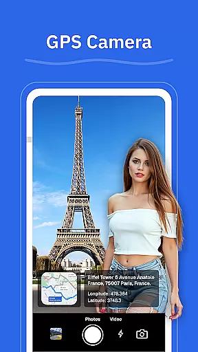
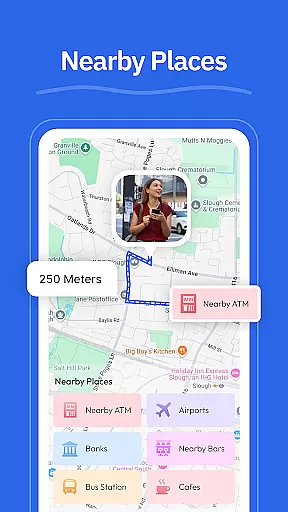
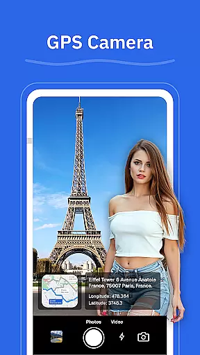
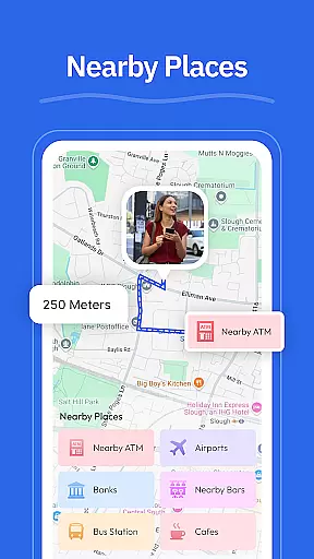
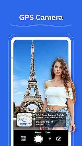
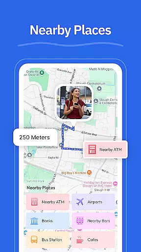
The app also includes a GPS camera feature, enabling users to save locations with geo-tagged photos. This can be particularly useful for revisiting favorite spots or documenting travel experiences. Another key feature is the nearby places tool, which helps users locate essential services such as gas stations, restaurants, ATMs, and EV chargers. Combined with real-time GPS tracking and a user-friendly interface, these features create a versatile navigation experience suitable for various travel needs.
Map accuracy is essential for any navigation app, and GPS u2013 Maps, Driving Directions excels in this area. The app provides precise location tracking and real-time updates to ensure users are always on the correct path. With detailed maps covering highways, interstates, and local roads, it offers comprehensive coverage for travelers across the United States.
The app's GPS technology ensures that your current position is accurately displayed, making it easier to navigate through busy cities and rural areas alike. Whether you're driving through unfamiliar territories or planning a trip across states, the map accuracy provided by this app gives you peace of mind.
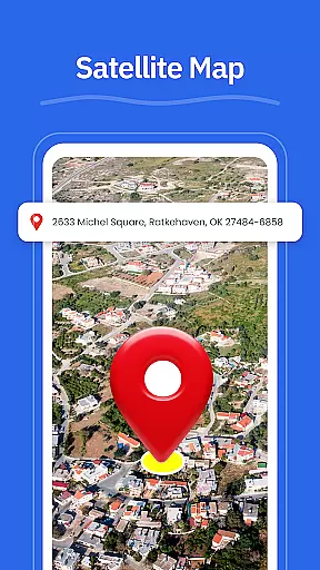
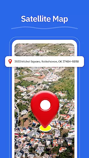
Moreover, GPS u2013 Maps, Driving Directions includes a Street View feature, allowing users to check areas, neighborhoods, and landmarks before they arrive. This enhances the overall navigation experience by providing visual context to the directions given, ensuring that users can confidently move around even in new environments.
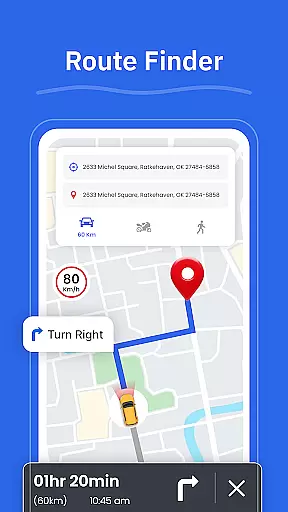
Effective route planning is crucial for efficient travel, and GPS u2013 Maps, Driving Directions offers robust tools to help users choose the best routes based on current road conditions. The Route Finder feature analyzes various factors such as traffic congestion, road closures, and weather conditions to suggest optimal paths tailored to each journey.
In addition to offering multiple route options, the app provides turn-by-turn voice guidance, enabling hands-free driving. This ensures that drivers can focus on the road while receiving clear instructions for highways, interstates, and city roads. Such functionality not only improves safety but also reduces travel time significantly.
Furthermore, the Nearby Places feature complements route planning by helping users locate essential services like gas stations, restaurants, ATMs, EV chargers, and pharmacies along their chosen routes. By integrating these practical tools into its route planning system, GPS u2013 Maps, Driving Directions enhances both convenience and efficiency for everyday travel and long road trips alike.
User-friendly interface
Accurate GPS tracking
Turn-by-turn guidance
Real-time updates
Geo-tagged photos
Limited offline maps
High battery usage
Occasional lag
Few customization options
Ads in free version

Find 93 Octane Gas: Locate Gasoline Stations Selling Premium 93 Octane or Higher
 4.5
4.5
CamSam PLUS - The speed and red light camera warning system!
4.40
Turn your tablet or Android powered unit into a full blow Android Auto headunit.
2.30
Order a cab online. An affordable taxi ride and driver in no time. What a bolt!
4.80
Find radar maps, GPS coordinates, altitude, offline maps, location, travel route
4.40
Navigate via GPS Maps of GPS Voice Navigation, driving directions to find routes
3.60
Route Planner is travel map to get turn by turn navigation & driving directions
3.90
Use GPS Maps and GPS Voice Navigation to find your way and get directions
4.10
Avoid delays. Get real-time GPS navigation, safety alerts and live traffic.
4.10
Find shortest way and save energy . Distance and area calculator.
4.70
Complete offline 1:50k South Island topo map including DOC Hunting Permit Areas
4.60
Affordable rides and food delivery with incredible discounts in just one app.
4.50
Turn your Android device into a real off-road GPS using off-line topo maps!
4.40
ParkWhiz, an Arrive Mobility brand, part of the Arrive Network
4.30
Phone Tracker and GPS Location Sharing
4.20
Find radar, speed camera, flight tracker. Use hud, location tracker, speedometer
4.20
TACNAV-X: Precision MGRS navigation, built specifically for the military.
4.00
Discover over 800 points of interest along the canal.
3.70
Compass is an accurate compass and a great tool for any outdoor activities
4.4


User Reviews